

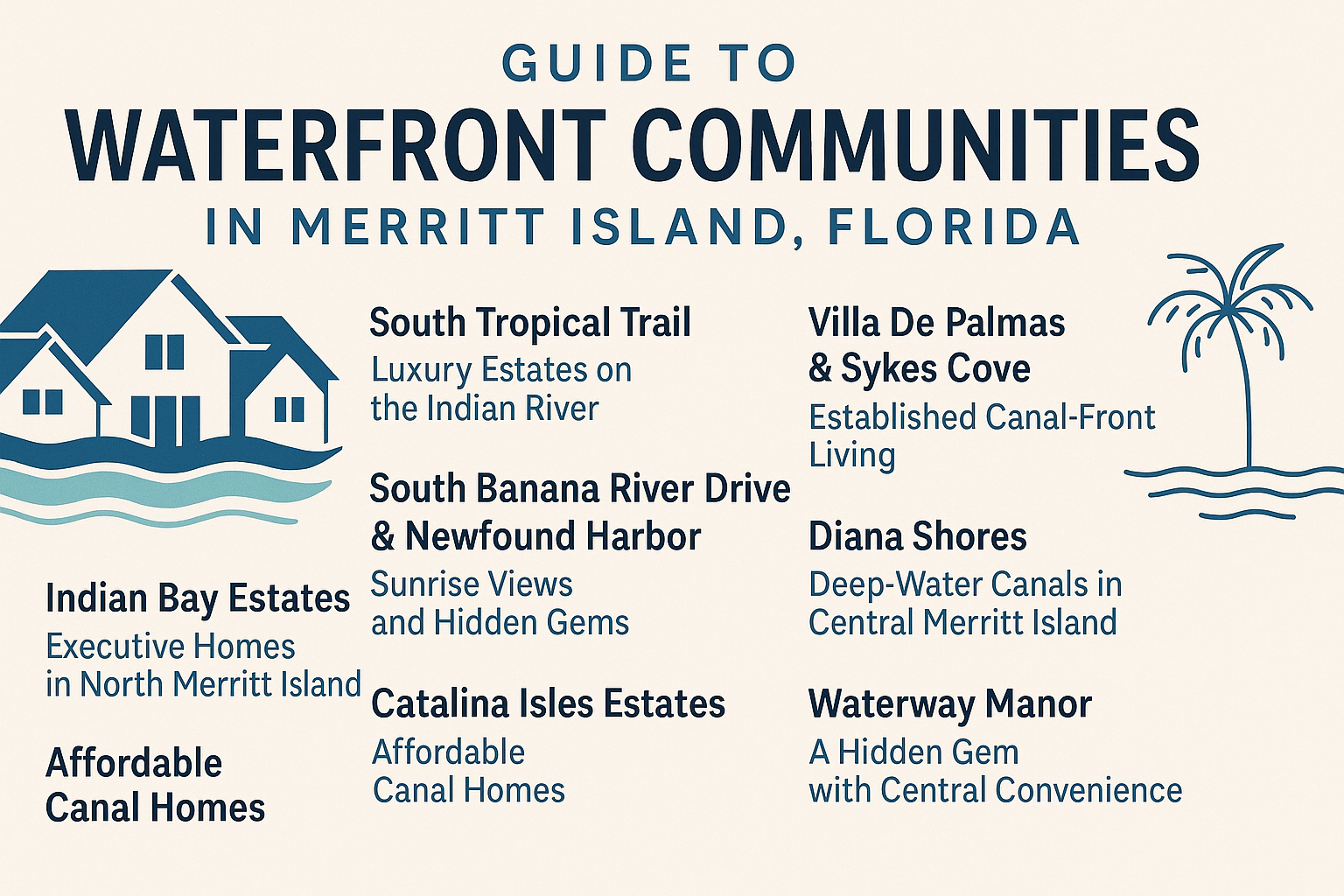
Merritt Island waterfront real estate is not one market. A canal on the Sykes Creek side, a home along the Banana River, an Indian River property, and a residence with only community water access can offer completely different boating routes, exposure, maintenance responsibilities, and insurance questions.
I’m Carrie Liotta with 321 Coastal Living. This guide is here to help you compare those differences before you fall in love with a view. The right waterfront home is not simply the prettiest backyard. It is the property where the house, shoreline, boat route, carrying costs, and everyday location all work together.
Start With the Type of Waterfront
The word “waterfront” can hide important distinctions. Ask which of these descriptions actually applies:
- Direct open-water frontage: The parcel borders a lagoon, river, creek, or other broad water body. Exposure, waves, wind, and shoreline protection can differ from a sheltered canal.
- Canal-front: The property borders a man-made or modified canal. The canal may connect to a larger waterway, but depth, bridges, maintenance, and route conditions still need verification.
- Community water access: The home is not directly waterfront but may have rights to a shared ramp, dock, park, or launch area. Confirm that access is deeded or otherwise enforceable.
- Marina access or leased slip: The boat is kept away from the home under separate marina rules, costs, and availability.
- Water view only: The home may see water without having legal or physical boating access.
These categories are not interchangeable. A marina slip may suit a large boat better than a canal with a low bridge, while open-water frontage can bring different shoreline and storm-preparation needs.
Understand Merritt Island’s Water Geography
Merritt Island lies among major lagoon and river systems, but a home’s practical connection depends on which side of the island it occupies and what sits between the dock and the destination. Central and north-island canal communities on the Sykes Creek side can have routes toward the Canaveral Barge Canal. The Canaveral Lock then provides a regional connection between the Banana River side and Port Canaveral.
The U.S. Army Corps of Engineers confirms the lock’s function and publishes operating information. That does not make every Merritt Island waterfront home an “ocean-access” property for every vessel. Before using that phrase, identify the entire route from the dock, including canal depth, fixed and movable bridges, the boat’s draft and air draft, lock operations, and conditions beyond the lock.
South Merritt Island properties can have very different surroundings and access patterns from central canal neighborhoods. Homes along or near South Tropical Trail should not be casually grouped with Sykes Creek communities. Likewise, Banana River and Indian River frontage should be identified correctly; these are distinct water bodies with different routes and exposure.
Three Central Merritt Island Communities to Compare
Waterway Manor
Waterway Manor is an established central Merritt Island neighborhood east of North Courtenay Parkway around Florida Boulevard. Its correct water context is the Sykes Creek side—not South Tropical Trail or direct Banana River frontage. The community includes canal-front and interior properties, so private dockage should never be assumed from the neighborhood name alone.
A potential boating route runs from the neighborhood canals into Sykes Creek, then north toward the Canaveral Barge Canal and east through Canaveral Lock. Depth, bridges, air draft, and the exact canal path must be confirmed for each property and vessel.
Villa De Palmas
Villa De Palmas offers a mix of established canal-front and interior homes on the east side of the North Courtenay Parkway corridor, near Sykes Creek and the Canaveral Barge Canal side of the island. Public descriptions associate the community with Spanish-influenced street names and multiple periods of development, which helps explain varied home sizes and renovation histories.
Waterfront buyers should evaluate the Sykes Creek route, dock and seawall condition, bridge constraints, and association documents. Interior buyers may find the same general location without private marine-infrastructure obligations.
Diana Shores
Diana Shores is a central Merritt Island neighborhood recognized for space-themed streets and a mix of canal-front and interior properties. Diana Boulevard and Artemis Boulevard are commonly identified as entrances from the North Courtenay Parkway side, with canals tied to Sykes Creek.
The neighborhood can appeal to buyers who want an established home and the possibility of backyard boating, but route claims must be vessel-specific. The condition and permit status of the seawall, dock, and lift can be as important as the house itself.
Complete Merritt Island Waterfront Neighborhood Series
This editorial series separates named subdivisions, estate pockets, condominiums, and communities with shared boating access. It excludes ordinary retention-pond neighborhoods and treats corridor names such as South Tropical Trail, South Banana River Drive, and Newfound Harbor as future hub topics rather than pretending they are single subdivisions.
Sykes Creek and central-island communities
- Waterway Manor — established canal and interior homes near Florida Boulevard, with canal routes associated with Sykes Creek.
Guide: /waterway-manor-why-its-merritt-islands-hidden-gem/ - Villa De Palmas and Sykes Cove — established interior, canal, and creek-oriented sections whose plats and association obligations require address-level confirmation.
Guide: /villa-de-palmas-merritt-island-florida/ - Diana Shores — a central Merritt Island community with canal-front and interior homes and routes tied to Sykes Creek.
Guide: /discover-diana-shores-waterfront-living-in-merritt-island-fl/ - Catalina Isles — a larger established community with both dry and canal-oriented properties.
Guide: /catalina-isles-merritt-island/ - Catalina Isles Estates — a smaller, separately researched canal neighborhood; confirm the exact plat because similar names are used inconsistently.
Guide: /catalina-isles-estates-merritt-island/ - Hampton Homes — a mixed community where a property may be interior, canal-front, or directly oriented toward Sykes Creek.
Guide: /hampton-homes-merritt-island/ - Floral Park — a compact established pocket with canal and interior homes.
Guide: /floral-park-merritt-island/
Banana River canal communities
- Riviera Isles — canal-oriented sections with routes toward the Banana River; verify bridges, depth, and waterfront status by parcel.
Guide: /riviera-isles-merritt-island/ - Surfside Estates — an established canal community where dock condition, route, and vessel fit matter.
Guide: /surfside-estates-merritt-island/ - Canaveral Subdivision — a small waterfront-oriented subdivision requiring parcel-level boundary, utility, and access confirmation.
Guide: /canaveral-subdivision-merritt-island/ - Port Canaveral Section — a very small canal pocket whose legal boundaries and boating route should be verified carefully.
Guide: /port-canaveral-section-merritt-island/ - Holiday Cove — a phased neighborhood with waterfront and interior properties near the Banana River side.
Guide: /holiday-cove-merritt-island/ - Pelican Creek Estates — a small waterfront pocket where frontage, route, and marine improvements are property-specific.
Guide: /pelican-creek-estates-merritt-island/
South Merritt Island waterfront and estate pockets
- Milford Point Beach — a peninsula-style pocket with direct and protected-water frontage that must be classified by survey.
Guide: /milford-point-beach-merritt-island/ - Harbor Point — a small estate pocket with open-water and protected-basin considerations.
Guide: /harbor-point-merritt-island/ - Horti / Horti Point — a Newfound Harbor-area pocket where east- and west-side water orientation can differ.
Guide: /horti-point-merritt-island/ - Honeymoon Hill — an estate-style waterfront pocket where lake, river, outlet, and parcel conditions require careful verification.
Guide: /honeymoon-hill-merritt-island/ - Paradise Point — a narrow-island estate area where some parcels may have complex or dual-water relationships.
Guide: /paradise-point-merritt-island/ - Sanders Subdivision — an older estate subdivision with varied acreage and potential Indian River, Banana River, or apparent river-to-river configurations.
Guide: /sanders-subdivision-merritt-island/ - Stewarts Homestead — an older South Tropical Trail plat oriented toward the Banana River side, with frontage and parcel shape requiring survey confirmation.
Guide: /stewarts-homestead-merritt-island/
Condominiums, marina communities, and shared-access neighborhoods
- Island Pointe — direct Indian River condominium living where reserves, insurance, assessments, and association documents are central to the purchase.
Guide: /island-pointe-condos-merritt-island/ - The Anchorage — a smaller riverfront condominium community requiring unit- and association-specific review.
Guide: /the-anchorage-merritt-island/ - Cape Crossing Resort & Marina Village — a resort/marina product where ownership, rental, association, and slip rights require current written documentation.
Guide: /cape-crossing-resort-merritt-island/ - Indian Bay Estates — a north-island community with waterfront and/or community boating-access questions that differ by parcel and phase.
Guide: /indian-bay-estates-merritt-island/ - Egrets Cove — an estate community where deeded or assigned marina rights, ramp access, and association responsibilities must be verified.
Guide: /egrets-cove-merritt-island/ - River Grove Trail — a community with shared Indian River or lake-oriented amenities and mixed parcel relationships to the water.
Guide: /river-grove-trail-merritt-island/
How to Compare Other Waterfront Areas
Some waterfront properties sit in named communities; others are better understood by street, plat, or direct frontage. Compare every candidate with five questions.
1. What water body is behind the home?
Confirm whether it is a canal, Sykes Creek, the Banana River, the Indian River, a lake or pond, or another feature. Use the survey, parcel map, plat, and authoritative records. Do not let “riverfront,” “lagoon access,” and “waterfront” blur together.
2. What is the complete boating route?
Start at the dock and trace every segment to the intended destination. Identify the controlling depth, narrowest turn, fixed bridge, movable bridge, lock, and open-water crossing. A route suitable for kayaks and small powerboats may not work for a sailboat or tower-equipped vessel.
3. Who maintains the waterfront infrastructure?
Determine who owns and maintains the seawall, dock, canal bottom, shared structures, or community ramp. Verify any association, district, county, or neighbor responsibility in writing.
4. What does the house need?
Review roof, openings, electrical, plumbing, HVAC, additions, drainage, pool, seawall, dock, lift, and shoreline permits. Prioritize insurance and structural risks over finishes.
5. What will ownership cost after closing?
Budget for insurance, marine maintenance, lift service, dock electrical work, seawall planning, storm preparation, and association obligations using property-specific quotes.
The Waterfront Due-Diligence Checklist
Seawall
Have a qualified professional evaluate movement, cracking, cap condition, tiebacks, drainage, erosion, soil loss, and prior repair quality. Determine where the legal boundary lies and whether the wall connects to neighboring sections. Ask for permit records and realistic repair or replacement estimates.
Dock and lift
Confirm dimensions, ownership, permits, setbacks, electrical safety, pile condition, decking, roof, hardware, and lift capacity. A lift must match the boat’s loaded weight and hull configuration. Check whether the existing structure matches the survey and county records.
Depth and water levels
Measure at relevant points, not only beside the dock. Consider changing water levels, weather, shoaling, vegetation, and the controlling shallow area along the route. Avoid unsupported “deep water” claims.
Bridges and air draft
List every overhead restriction on the planned route. Compare official clearance and operating information with the vessel’s true height, including antennas, outriggers, towers, hardtops, and masts. Verify whether movable bridges have schedules or restrictions.
Flood, wind, and insurance
Use FEMA’s Flood Map Service Center for the current official map. Review any elevation certificate and obtain property-specific homeowners, wind, and flood quotes early. Flood zone is only part of the insurance picture; roof age, opening protection, construction details, prior claims, and underwriting rules also matter.
Utilities, permits, and restrictions
Confirm water and wastewater service, easements, setbacks, riparian or shoreline issues, association obligations, rental restrictions, and marine permits for the exact parcel. An improvement visible in an aerial photo is not automatically legal or insurable.
Lifestyle and Everyday Location
Waterfront buyers often begin with boating, but daily life still matters. Central Merritt Island neighborhoods near North Courtenay Parkway can offer straightforward access to shopping and services. State Road 520 connects Cocoa, Merritt Island, and the beachside; State Road 528 connects toward Port Canaveral and the mainland highway network.
South-island properties can have different commute patterns, while open-water and canal homes can differ in exposure, depth, views, and boat traffic. Visit each address at multiple times, test the commute, notice drainage and wake exposure, and verify schools directly with Brevard Public Schools.
Who Waterfront Merritt Island May Fit
Merritt Island waterfront living can fit buyers who value boating, paddling, fishing, wildlife views, or simply the relationship between the home and the water—and who are prepared for the maintenance and due diligence that come with it.
A waterfront property may be a poor fit for someone seeking minimal exterior responsibility, predictable insurance costs, or a guaranteed route for a large vessel without doing parcel-level work. In that case, an interior home with a marina slip, community ramp, or nearby launch may better support the lifestyle.
Frequently Asked Questions
What are the best waterfront communities in Merritt Island?
There is no single best community for every buyer. Waterway Manor, Villa De Palmas, and Diana Shores are established central-island options with Sykes Creek-oriented canal connections. The better choice depends on vessel dimensions, route, home condition, budget, commute, and maintenance preferences.
Does every Merritt Island canal lead to the ocean?
No. Connections, depth, bridges, lock access, and navigation conditions vary. Even when a map shows a regional route, the specific dock and vessel may face limitations. Verify the full path before treating a property as ocean-access.
What is the Canaveral Lock?
The U.S. Army Corps of Engineers operates Canaveral Lock between the Banana River side and Port Canaveral. It supports vessel passage and publishes current operating information. Boaters should check official hours, notices, dimensions, and procedures before planning a trip.
Is a canal-front home cheaper to maintain than open-water frontage?
Not necessarily. Canal shelter can differ from open-water exposure, but maintenance depends on the seawall, dock, lift, drainage, construction, and site conditions. Get property-specific inspections and estimates rather than relying on a general comparison.
How do I check bridge clearance?
Trace the planned route and identify every fixed and movable bridge. Use current official navigation and bridge information, then compare it with the boat’s actual air draft. Do not rely on a listing, old forum post, or neighborhood-wide estimate.
Do I need flood insurance?
A lender may require flood insurance based on the property and loan, but all buyers should evaluate flood risk and coverage. Use FEMA’s official map, review elevation information, and obtain address-specific insurance guidance and quotes.
What should I inspect beyond the house?
Inspect the seawall, dock, lift, marine electrical, drainage, water depth, canal route, permits, flood information, and insurance options. These items can materially affect both usability and total ownership cost.
Can an interior home still work for a boater?
Yes. A non-waterfront property may pair well with a marina slip, deeded community access, or a nearby public ramp. Confirm the legal access, availability, costs, security, vessel limits, and travel logistics before assuming it is a practical substitute.
Plan Your Merritt Island Waterfront Search With Carrie
The right waterfront search begins with your boat, priorities, and risk tolerance—not a broad filter on a listing website. Carrie Liotta and 321 Coastal Living can help you compare communities, identify the records and inspections that matter, and ask the route and infrastructure questions before you commit.