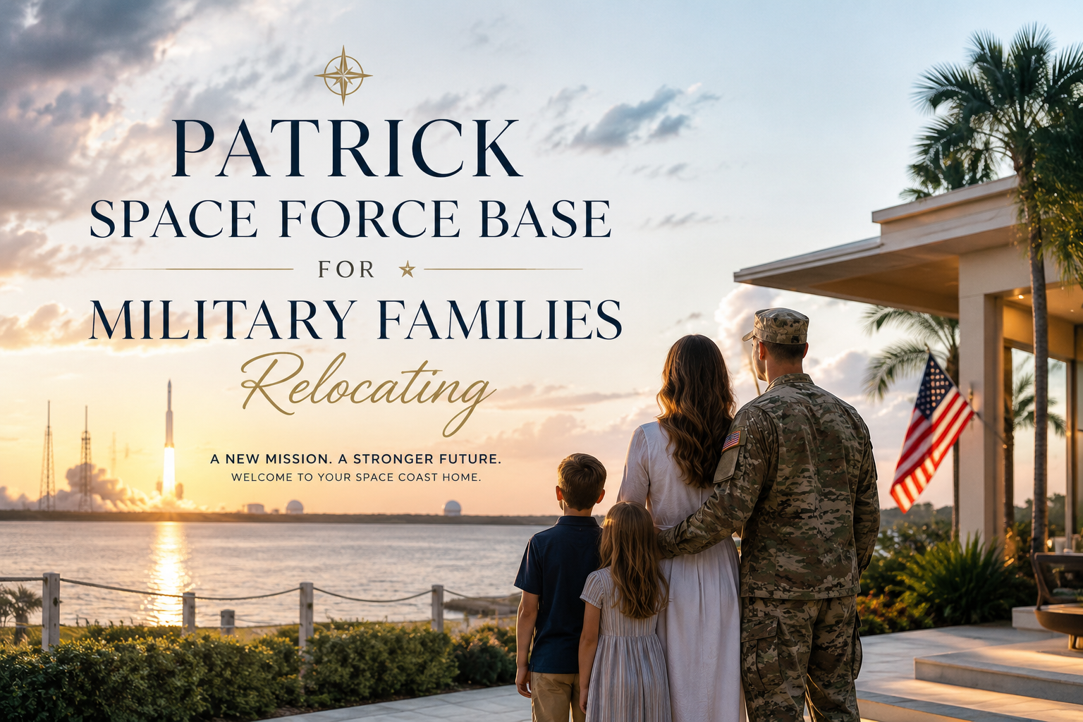
Patrick Space Force Base for Military Families Relocating: If you’ve received orders to Patrick Space Force Base and you’re searching “waterfront areas near Patrick SFB convenient for military families” — you’re asking a smarter question than most people who relocate to this area. Proximity to base matters. So does flood insurance. And if you’ve ever owned a boat, or plan to, boating access from your back door is a different calculation entirely depending on which side of the Indian River you’re on.
Brevard County is not a simple grid. The barrier island, the mainland, Merritt Island (which is neither barrier island nor mainland — it’s a land mass between two bodies of water), the Indian River Lagoon, the Banana River — these are not interchangeable. Where you buy determines your commute window, your flood risk, your insurance premium, your water access, and your quality of life on days off.
This guide breaks it down honestly. I’ve worked with active duty and retired military throughout Brevard County and I know the questions that matter before you start touring homes. For more on what to expect before your Space Coast move, the Moving to Brevard County Florida Facebook group is a good starting point for real conversations with people who’ve made this exact move.
Patrick Space Force Base for Military Families Relocating: Why Patrick SFB Changes the Location Math
Patrick Space Force Base sits on the southern portion of the Brevard County barrier island — bounded by the Atlantic Ocean to the east and the Indian River Lagoon to the west. It shares geography with Satellite Beach to the south and the southern edge of Cocoa Beach to the north.
That position is both a gift and a constraint. The base has direct beach access and is surrounded by some of the most desirable waterfront real estate on the Space Coast. But the barrier island is narrow. Homes on the ocean side sit in AE or VE flood zones. Canal homes off the Banana River and Indian River can have significant flood insurance premiums. And commute times to the rest of Brevard depend entirely on which bridge you’re using — and whether it’s lift-bridge traffic season.
Before any waterfront home decision near Patrick SFB, three questions need answers:
- What is the flood zone designation and what does insurance realistically cost?
- What is the water type and does it support your boating needs (depth, ocean access, bridge clearance)?
- What is the actual drive to base gate — not Google Maps estimate, but real-time commute with bridge traffic factored in?
For a detailed breakdown of waterfront-specific due diligence on Florida’s Space Coast, visit 321coastalliving.com where I cover seawalls, flood zones, and water access in depth.
Satellite Beach: Closest to the Gate, Most Underrated by Relocators
Satellite Beach is directly south of Patrick SFB and is probably the most practical choice for military families who want a short commute without a lot of complicated logistics.
Commute to base: 5–10 minutes depending on which gate and exact address.
Waterfront access: Satellite Beach has frontage on the Indian River Lagoon on its western edge. Indian River-front homes here offer views and boating access into the lagoon system. This is not ocean-access boating without crossing through locks or navigating south to Sebastian Inlet — but for kayaking, fishing, paddleboarding, and inshore boating, it’s functional and attractive.
Flood zone reality: Parts of Satellite Beach in the Indian River-front sections are in FEMA AE zones, which requires flood insurance as a condition of most mortgages. Elevated homes or those on the eastern side with proper construction can sometimes fall into X zones. Always verify the specific parcel — never rely on the neighborhood generalization. The FEMA Flood Map Service Center is the authoritative source.
Schools and families: Satellite Beach has a strong school system and a walkable, small-town feel that military families tend to appreciate. It’s a quiet community that doesn’t have the transient energy of a tourist corridor.
Price range: Waterfront or water-access homes in Satellite Beach typically range from the high $400s to low $800s depending on lot size, frontage type, and condition. True Indian River frontage pushes into the upper range.
What I’d flag for buyers here: Seawall age and condition is critical on the Indian River side. Older seawalls can be expensive to repair or replace — $10,000 to $30,000+ depending on linear footage and material — and that cost almost never shows up in the listing price. Always get a seawall inspection before closing.
Cocoa Beach: Ocean Access and Canal Living, With Trade-Offs
Cocoa Beach is north of the base, roughly 10–15 minutes depending on traffic. It’s the most recognized Space Coast city name nationally, and it draws a certain type of buyer — people who want direct ocean access or canal homes with navigable water to the Atlantic.
Commute to base: 10–20 minutes. The A1A route is straightforward, but summer weekends and any major KSC event creates traffic. Daily commute for military personnel is generally predictable.
Waterfront access: Cocoa Beach’s canal system connects to the Banana River to the west and, through the Port Canaveral locks and cut, to the Atlantic. Serious boaters with larger vessels often prioritize Cocoa Beach canal homes specifically for this ocean access. Bridge clearances vary on specific canals — this matters significantly if you have a vessel taller than 15–18 feet.
Flood zone reality: Cocoa Beach canal homes are predominantly in AE flood zones. Oceanfront condos are VE zones. Flood insurance is not optional here — it’s standard cost of ownership. Budget for it.
Condo market note: Cocoa Beach has a significant condo inventory, and since the Surfside collapse in 2021, Florida law has required condo associations to complete structural reserve studies and fund reserves properly. This has created real variation in association financial health. Some Cocoa Beach condo associations are in excellent shape; others are facing significant special assessments. If you’re considering a condo near the base, due diligence on the HOA financials is non-negotiable.
One of my past clients shared this after purchasing a waterfront home in the area: “Carrie Liotta made buying my waterfront home in Cocoa Beach an incredible experience! She’s truly a Cocoa Beach waterfront property expert and knows the local market inside and out.”
For more on what to verify before buying a Cocoa Beach condo, my YouTube channel has dedicated videos on post-Surfside condo due diligence specific to this market.
Indian Harbour Beach: The Quiet Choice Most Relocators Miss
Indian Harbour Beach is directly south of Patrick SFB, below Satellite Beach. It’s smaller, quieter, and has some of the most functional waterfront inventory on the south barrier island — particularly for buyers who want Indian River access and are not looking for the tourist-corridor energy of Cocoa Beach.
Commute to base: 10–20 minutes south along A1A.
Waterfront access: Indian Harbour Beach has Indian River Lagoon frontage along its western side. Some properties have direct river access. Canal systems feed off the main lagoon channel. Boating is primarily inshore — the Indian River is a productive fishing and recreational corridor — but it is not direct-access ocean boating without significant navigation south.
Flood zone reality: Mixed AE and X zones depending on exact parcel location and elevation. Indian Harbour Beach has some elevated sections that fall into lower-risk flood categories. This is worth examining parcel by parcel — a small difference in ground elevation can mean a significant difference in annual insurance cost.
Price range: Comparable to Satellite Beach, with waterfront homes from the mid-$400s into the $800s+ for direct river frontage.
What works for military families here: The community is stable, not transient. It’s a place where people actually live — not a tourist market. Schools are solid. The lifestyle is quieter and more suburban than Cocoa Beach, which suits families with school-age children.
Merritt Island (South): Broader Waterfront Options, Slightly Longer Commute
Merritt Island is the land mass between the Banana River (east) and the Indian River (west). It is not an island in the barrier-island sense — it’s a broad, low-lying peninsula bordered by two bodies of water with distinct characters. The south end of Merritt Island is closer to the base than the north end.
Commute to base: 20–30 minutes from south Merritt Island. You cross the causeway over the Banana River to reach the barrier island and base access. Traffic on the causeways — especially SR 528 and SR 520 — can be heavier during commute hours and during KSC launch events.
Waterfront access: This is where Merritt Island distinguishes itself. Banana River frontage on the east side offers genuinely productive boating, kayaking, and water access. Indian River frontage on the west side is broader, with views toward the mainland. Some areas have direct Intracoastal access. For buyers who want large waterfront lots with varied water types, south Merritt Island delivers options that the narrow barrier island simply cannot match in terms of lot size.
Flood zone reality: Merritt Island has significant AE flood zone coverage given its low elevation and proximity to multiple water bodies. However, specific neighborhoods and elevated parcels can fall into X zones. This requires parcel-by-parcel review — a neighborhood-level generalization is not sufficient.
No HOA is common on Merritt Island — a significant draw for military families who do not want HOA restrictions on vehicle parking, fencing, or use of property.
Price range: Waterfront on Merritt Island ranges widely — from the $400s for canal homes to well over $1M for large direct-waterfront properties on the Banana or Indian River.
For a breakdown of Merritt Island waterfront neighborhoods and what to know before buying, visit 321coastalliving.comor check the Moving to Brevard County Facebook group.
Viera and Suntree: No Flood Zone, Excellent Schools, Longer Commute
If a military family’s priority is flood-zone avoidance, top-tier schools, and a master-planned community environment, Viera and neighboring Suntree are the answer — with the trade-off being a 25–35 minute commute to base and no direct ocean or river frontage.
Commute to base: 25–35 minutes via I-95 and SR 528 or surface roads.
Waterfront access: Not ocean or river waterfront. Viera has community lakes and preserves, and some homes back to water features. These are typically in FEMA X zones — the lowest risk category.
Why it works for some military families: Families with school-age children who prioritize the Viera school cluster (some of the highest-rated schools in Brevard County) and want new construction or newer homes in a structured community with amenities often find Viera worth the longer commute. It’s particularly common among senior officers prioritizing their children’s educational environment over proximity to gate.
One client who relocated from out of state to Suntree, Melbourne (adjacent to Viera) shared: “Buying my dream home in Suntree, Melbourne, Florida would not have been possible without Carrie Liotta. Carrie knows the Space Coast inside and out, and her expertise in the Melbourne real estate market is unmatched.”
Price range: Viera and Suntree offer a wide range — from the mid-$300s for modest single-family to $700s–$900s+ for larger homes in premium sections with golf course or preserve views.
Neighborhood Comparison: Waterfront Areas Near Patrick SFB
| Neighborhood | Commute to Base | Water Type | Flood Zone Risk | Ocean Boating Access | Typical Price Range (Waterfront) | Best For |
|---|---|---|---|---|---|---|
| Satellite Beach | 5–10 min | Indian River Lagoon | AE (some X) | No — inshore only | $450K–$800K | Families wanting short commute + water access |
| Cocoa Beach | 10–20 min | Canals, Banana River, Ocean | AE / VE | Yes — via locks/cut | $500K–$1.2M+ | Boaters wanting ocean access |
| Indian Harbour Beach | 10–20 min | Indian River Lagoon | AE (some X) | No — inshore only | $420K–$750K | Quiet waterfront, no tourist traffic |
| South Merritt Island | 20–30 min | Banana River / Indian River | AE (some X) | Limited | $400K–$1M+ | Large lots, no HOA, diverse water frontage |
| Viera / Suntree | 25–35 min | Community lakes only | X (lowest risk) | No | $300K–$900K | Schools-first families, flood zone avoidance |
FAQs: Waterfront Living Near Patrick Space Force Base
Are there waterfront areas near Patrick Space Force Base that work for military families?
Yes — Satellite Beach, Indian Harbour Beach, and the south end of Merritt Island are the strongest options combining manageable commutes with real waterfront access. Cocoa Beach offers ocean boating access but carries higher flood insurance costs. Viera is the best option for families prioritizing schools and flood-zone avoidance over direct water frontage.
What flood zones are the neighborhoods near Patrick SFB in?
Most of the barrier island communities (Satellite Beach, Cocoa Beach, Indian Harbour Beach) have sections in FEMA AE zones, which require flood insurance on mortgaged properties. Some elevated parcels fall into X zones. Merritt Island has mixed zones. Viera is predominantly X zone. Always verify the specific parcel at FEMA’s Flood Map Service Center — neighborhood generalizations are not reliable.
What is the best neighborhood near Patrick SFB for military families with kids?
Satellite Beach and Viera consistently come up in this conversation. Satellite Beach has strong schools and is immediately adjacent to the base. Viera has some of the highest-rated schools in Brevard County with a master-planned community structure, but the commute is 25–35 minutes. The right answer depends on whether commute or school quality is the higher priority for your family.
Can I get a waterfront home near Patrick SFB without paying high flood insurance?
It requires careful parcel-level research, but yes — elevated properties and certain areas of Satellite Beach, Indian Harbour Beach, and south Merritt Island can fall into X zones with no mandatory flood insurance requirement. This is not the norm for barrier island waterfront, but it exists. I verify flood zone designation on every waterfront transaction I handle in Brevard County.
What should military buyers know about boating access near Patrick SFB?
The water type matters more than most buyers realize. The Indian River Lagoon (running along the west side of the barrier island) is a protected inshore waterway — excellent for fishing, kayaking, and inshore boating, but not direct ocean access. Cocoa Beach canal homes connect through Port Canaveral to the Atlantic, which is the nearest true ocean access for larger vessels. If ocean boating is a priority, Cocoa Beach and north barrier island properties are the practical choice.
Additional Resources
- 321coastalliving.com — Space Coast real estate resource with neighborhood guides, waterfront buyer content, and market data
- Carrie Liotta on YouTube — waterfront due diligence, flood zone explainers, Brevard County neighborhood tours
- Moving to Brevard County Florida Facebook Group — private community for people researching a Space Coast move
- FEMA Flood Map Service Center — verify flood zone designation for any specific parcel
- Patrick Space Force Base Official Site — base housing, BAH rates, and newcomer resources
If you’re navigating a PCS move to Patrick Space Force Base and trying to figure out whether the barrier island, Merritt Island, or the mainland is the right call for your family — that conversation is exactly what I do.
Carrie Liotta | REALTOR® | Boardwalk Realty Space Coast Waterfront Specialist | Top 5% in Sales, Brevard County 256-479-2800 | carrieliotta@gmail.com Schedule a call | 321coastalliving.com