
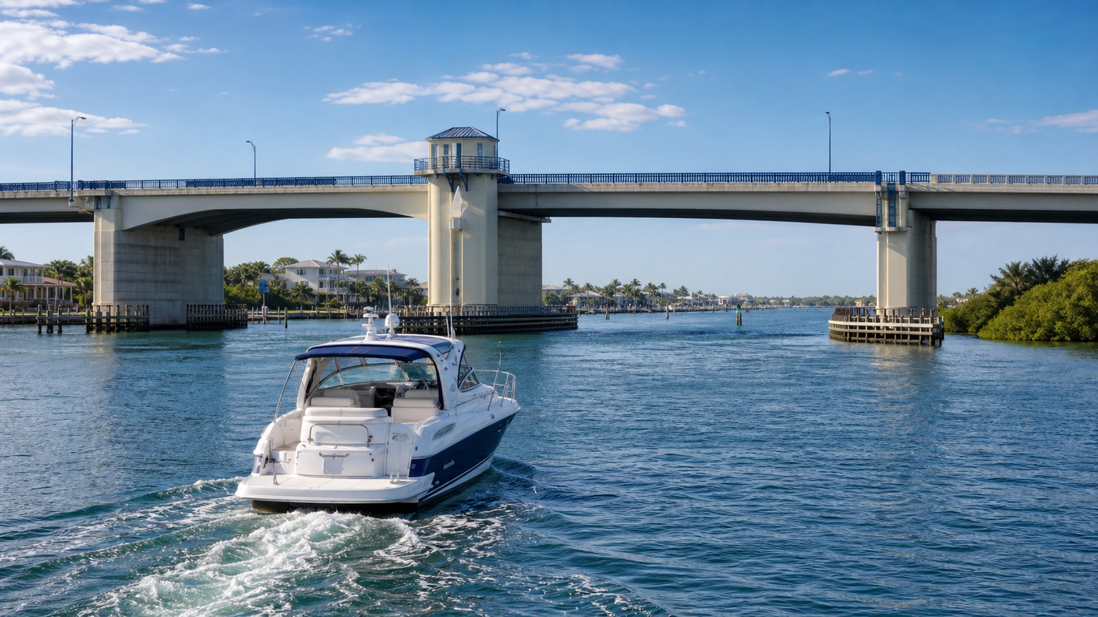
Buying a waterfront home in Merritt Island, Cocoa Beach, Cape Canaveral, Indian Harbour Beach, or anywhere along the Space Coast is not just about the view. For boaters, the route from the dock to open water matters just as much as the house.
Bridge clearance, drawbridge schedules, the Canaveral Lock, tide, current, vessel air draft, antennas, hardtops, outriggers, and temporary notices can all affect whether a property actually fits the boating lifestyle a buyer has in mind.
Quick answer: Before buying waterfront property in Brevard County, boaters should verify the exact route from the dock to open water, compare the vessel’s air draft with every bridge on that route, check current drawbridge and lock schedules, and confirm any temporary notices before relying on published clearance numbers.
Why Bridge Clearance Matters for Merritt Island Waterfront Buyers
Merritt Island has some of the Space Coast’s most desirable canal-front and riverfront properties, but not every waterfront home offers the same boating access. Two homes can both look “boatable” online while having very different routes to the Banana River, Indian River, Port Canaveral, or the ocean.
For offshore buyers especially, bridge height can be as important as water depth. A boat that fits the canal may still have a route problem if the hardtop, tower, antennas, or outriggers do not clear a fixed bridge or if a drawbridge schedule does not fit the buyer’s boating habits.
Helpful Brevard County Bridge and Lock Reference
Carrie created a printable quick-reference handout for Brevard County waterway bridges and the Canaveral Lock. It includes commonly referenced fixed bridge clearances, drawbridge or swing bridge operating notes, and Canaveral Lock basics for boaters evaluating waterfront routes.
Download the printable guide: Brevard County Waterway Bridges + Canaveral Lock Printable Guide
Key Route Details Buyers Should Verify
- The exact route from the dock to the Indian River, Banana River, Port Canaveral, or open water.
- The vessel’s air draft, including antennas, hardtops, towers, outriggers, and loaded height.
- Fixed bridge clearances along the route.
- Drawbridge, swing bridge, or bascule bridge operating schedules.
- Canaveral Lock hours, VHF channel, wait times, and operating notices.
- Tide, current, wind, water level, and bridge board readings.
- Temporary construction, maintenance, government, NASA-area, or lock notices.
Canaveral Lock Basics
The Canaveral Lock connects Port Canaveral with the Banana River area and is an important route consideration for many Merritt Island, Cocoa Beach, Cape Canaveral, and Sykes Creek boaters. Published operating details can change, so buyers should confirm current information with official sources before purchase or passage.
As of the source handout’s May 21, 2026 update, the handout notes normal Canaveral Lock hours of 6:00 AM to 9:30 PM, last lockage beginning at 9:00 PM, VHF channel 13, and phone number 321-783-5421. Always verify current lock notices before relying on those details.
Before You Buy a Boatable Waterfront Home
Before making an offer on a waterfront home, ask Carrie to help you think through the boating route, bridge clearance, canal depth, seawall condition, dock setup, lift configuration, flood zone, insurance, and resale considerations for that specific property.
Important note: Published clearances and operating schedules can vary with tide, wind, water level, bridge boards, vessel equipment, construction, maintenance, and temporary notices. This guide is a starting point only. Verify the exact route, vessel, clearance, lock, and bridge conditions before purchasing a property or making a passage.