

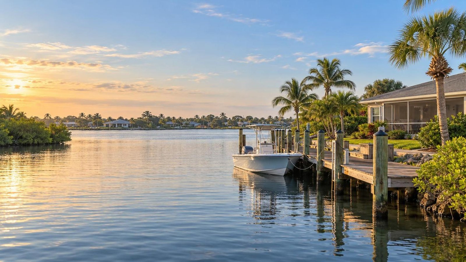
Which Part of Merritt Island Fits Your Waterfront Lifestyle?
By Carrie Liotta, Space Coast REALTOR® with REAL Broker
Drafted October 27, 2026
The best part of Merritt Island is the one where your weekday routes and your real water habits agree. Sykes Creek often suits a central routine, the Banana River side favors an east-facing beachside connection, the Indian River side faces mainland life, and Newfound Harbor or South Merritt Island can fit households oriented toward central or southern Brevard.
That is the short answer, but I would not choose a home from those labels alone. The useful question is not, “Which shoreline is best?” It is, “Which exact address supports the life we will repeat?” My method is to compare two calendars—the land calendar and the water calendar—then make the property pass a rights-and-risk check.
Watch the original video: Which Part of Merritt Island Fits Your Waterfront Lifestyle?
First, Build Your Land Calendar
Before comparing views, write down every trip your household makes in a normal week. Include work entrances, school or childcare, groceries, medical appointments, sports, family visits, beach days, and the places you use after 5 p.m. Add the day and time for each trip. A destination that appears five times a week should influence the decision more than a place you might visit once a month.
Then identify the direction each trip pulls you. Central Merritt Island and the Sykes Creek area can be practical when a household needs a mix of island services and routes north, east, west, or south. The Banana River side can feel naturally connected to Cocoa Beach, Cape Canaveral, and Port Canaveral plans. An Indian River-side address may fit a routine that repeatedly reaches Cocoa, Rockledge, or other mainland destinations. Farther south, Newfound Harbor and South Merritt Island deserve attention when work and recreation point toward the Pineda Causeway, Patrick Space Force Base, Satellite Beach, Suntree, or Melbourne.
Those are starting hypotheses, not commute promises. Merritt Island is long, and a neighborhood name cannot tell you the time from a driveway to a specific gate at the hour you travel. Test the route from the actual property, in both directions, on an ordinary workday. If aerospace work is part of your move, my guide to choosing north, central, or south Merritt Island for a KSC-area routine explains why the reporting point and the second household commute matter more than a broad employer pin.
For families, verify the assigned public schools for the exact address rather than treating “Merritt Island schools” as one assignment. Brevard Public Schools maintains its current attendance information, but a buyer should confirm the current assignment directly with the district before relying on it. Also test the next school level and after-school route. A home can work beautifully for elementary years and create a very different middle- or high-school pattern.
Next, Build Your Water Calendar
Now describe what “waterfront lifestyle” means in actions, not images. How many days per month will you use the water? At what time? Who will participate? Will you launch a powerboat, lower a boat from a lift, paddle from shore, fish from a dock, watch wildlife, or simply enjoy the view? A buyer who wants two early-morning paddles each week has a different search from someone planning six offshore trips a year.
Give each activity a frequency and a friction limit. If you want a twenty-minute evening paddle, carrying a kayak through the house, loading it onto a vehicle, and driving to a public launch may make the habit disappear. If you expect occasional boating, paying for private waterfront infrastructure may not improve daily life as much as living near a public ramp with useful storage at home. If the view is the priority, a parcel with broad water exposure may be more satisfying than a protected canal that is excellent for a boat you do not own.
This is where buyers should separate four very different relationships with the water:
- Private direct frontage: the parcel touches the water, but the dock, lift, seawall, depth, route, and legal ability to maintain or change improvements still require verification.
- Shared or association-controlled access: a dock, ramp, slip, kayak area, or shoreline may be subject to recorded rights, rules, waitlists, fees, operating limits, or approval.
- Public access nearby: a public ramp or park can support the lifestyle, but parking, hours, vessel rules, availability, and the trip from home remain part of the routine.
- View or water-near living: the home may deliver scenery and proximity without conveying launch, dock, slip, or shoreline rights.
Never let a listing photo blur those categories. Seeing neighbors use a path does not prove that it is public. Seeing a dock behind a home does not establish that it is permitted, included, or suitable for your vessel. Ask for the survey, deed, title exceptions, permits, and current association documents that apply to that property.
Use Each Area as a Shortlist, Not a Verdict
Sykes Creek and central Merritt Island: Start here when weekday convenience must share first place with the water. The appeal is balance: established residential pockets, central island errands, and several directions of travel. The tradeoff is that “near Sykes Creek” does not guarantee direct access, a particular view, or a boat route. Compare a direct-water property, a canal connection, and a nearby inland home separately. My Sykes Creek proximity versus North Merritt Island acreage comparison is useful when the decision is really central convenience versus space and a more northern orientation.
Banana River side: Put this side on the shortlist when your week repeatedly points east and the beachside connection is part of the life you want. Broad eastern outlooks, sunrise light, and proximity to Cocoa Beach or Cape Canaveral plans can be meaningful. Do not assume every eastern address has the same exposure, depth, navigation, shoreline, or causeway convenience. Visit from the exact parcel and trace both the driving route and the water route.
Indian River side: Consider it when mainland destinations and western outlooks fit the household calendar. The experience changes from north to south, and direct river frontage is not the same as a canal, a shared access point, or a water-near home. If a bridge crossing will become part of most weekdays, drive it when you would normally travel rather than judging it during a quiet showing.
Newfound Harbor and South Merritt Island: These areas can fit buyers who want a quieter residential rhythm while their work, school, military, beach, or social life points toward central and southern Brevard. The tradeoff is distance from central and northern Merritt Island destinations. A peaceful Saturday setting is not enough if the household will resent the Monday route.
Make the Exact Property Pass Four Gates
Once an area survives both calendars, stop comparing general lifestyles and investigate the parcel. I use four gates before a waterfront home becomes a serious candidate.
- Route gate: Drive the recurring land routes at realistic times. Trace the complete water route for the vessel and activity you expect, including turns, depth questions, bridges, idle areas, and the return trip.
- Rights gate: Confirm what is private, public, shared, deeded, licensed, leased, or controlled by an association. Read the current documents instead of relying on an amenity label.
- Condition gate: Inspect the home and the waterfront systems. Depending on the property, that can include the seawall or shoreline edge, dock, pilings, lift, electrical service, drainage, roof, openings, utilities, and any older or added structures.
- Cost gate: Obtain property-specific insurance information and proposals for material work. Review taxes, association charges, maintenance obligations, and the likely cost of making the waterfront usable for your plan.
For flood due diligence, the FEMA Flood Map Service Center is the official public source for NFIP flood-hazard information. FEMA also notes that map information can change over time. A map is a starting point, not an insurance quote or a substitute for elevation, drainage, claims, construction, lender, and policy review.
For docks, lifts, seawalls, shoreline changes, and other improvements, verify the applicable authority and approval path before assuming a future project is possible. Brevard County provides a building permit search, and the St. Johns River Water Management District permitting page is another official starting point. The correct records and agencies depend on the parcel and proposed work; an online search result by itself is not proof that an improvement was approved or unapproved.
My full Merritt Island waterfront buying guide goes deeper into boat fit, seawalls, docks, lifts, flood review, utilities, and inspection strategy. This article has a different job: help you eliminate the wrong part of the island before a beautiful backyard takes over the decision.
Run a Three-Visit Fit Test
Before choosing among finalists, visit each serious candidate at three useful times: a weekday morning, the time you expect to use the water, and an evening or weekend period. Repeat one normal errand. Drive one work or school route. Stand where the boat, kayak, or chairs would actually go. Notice wind, light, noise, neighboring activity, access, parking, carrying distance, and how the property feels when you are not touring the interior.
After each visit, score five questions from one to five: Does the land calendar work? Does the water calendar work? Are the access rights clear? Are the property systems and risks understandable? Does the full ownership cost still feel comfortable? Any score of one should pause the decision. A high total cannot erase one deal-breaking route, right, vessel limitation, or insurance problem.
Frequently Asked Questions
Is Sykes Creek automatically the most convenient waterfront area?
No. It can be a strong central-island starting point, but convenience depends on the exact address and your repeated destinations. Confirm whether the home has direct, canal, shared, public, or view-only access, then test the routes you will actually drive.
Should I choose the Banana River side or the Indian River side?
Choose by the combined land and water calendars, not by a universal ranking. The Banana River side may fit an east-oriented and beachside-connected routine; the Indian River side may align with mainland trips and western outlooks. Parcel exposure, navigation, access rights, condition, and cost can reverse a broad preference.
Does a water view mean I can launch or keep a boat there?
No. A view does not establish a private dock, launch, slip, usable depth, legal access, or permission for new improvements. Verify the survey, title and recorded rights, permits, association documents, water route, and vessel fit for the exact property.
The Bottom Line
Merritt Island does not have one best waterfront location. Sykes Creek, the Banana River side, the Indian River side, Newfound Harbor, and South Merritt Island each become the right answer for a different combination of weekly routes, water use, access rights, property condition, and ownership cost.
If you are narrowing the island, I can help you build the two calendars, test the routes, and compare the property-level questions before you fall in love with the view. Reach out for a no-pressure conversation about Merritt Island and Brevard County waterfront homes with REAL Broker. Your next chapter starts here.