

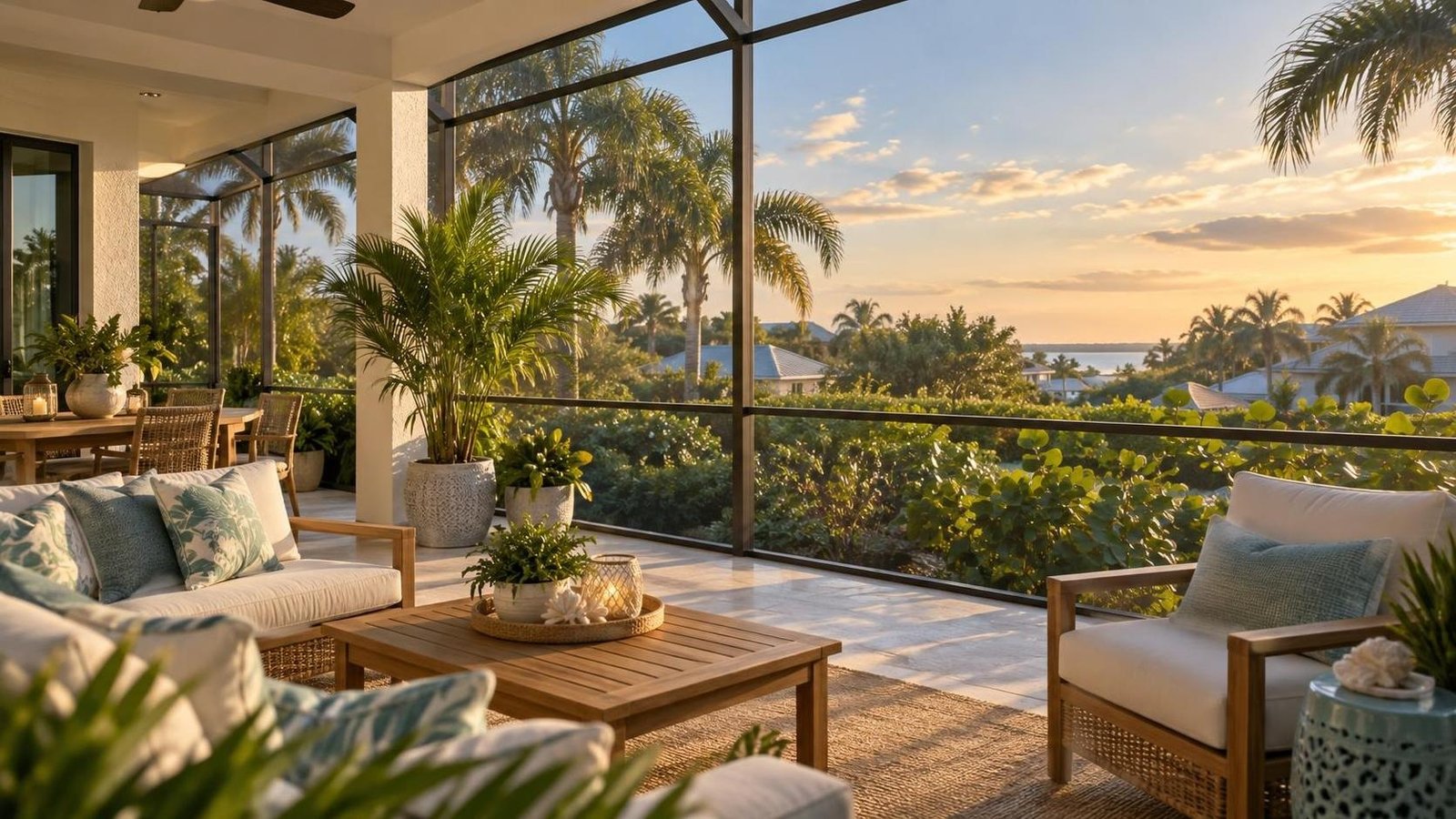
Where Can Merritt Island Buyers Enjoy River Breezes Without Owning a Seawall?
By Carrie Liotta, Space Coast REALTOR® with REAL Broker | Published September 16, 2026
Merritt Island buyers who want water nearby without direct seawall responsibility should usually start with inland streets near the Indian River, Banana River, Sykes Creek, or Newfound Harbor, then compare homes with public launch access or association-maintained waterfront. The best fit is not one named neighborhood. It is the right balance of breeze, access, flood exposure, insurance, commute, and shared fees.
I make one distinction early: living near water is not the same as owning waterfront. A home can feel coastal, catch evening air, and put a kayak launch or river park close to the weekly routine without placing a private seawall, dock, lift, or shoreline permit file on the owner’s maintenance list. But “not waterfront” does not automatically mean “not in a flood zone,” “no flood insurance,” or “low storm exposure.” Every parcel still needs its own review.
Choose the ownership model before the street
There are three practical ways to get this lifestyle. The first is a non-waterfront home on an interior street near the river or creek. The owner gets proximity and atmosphere but no deeded water access unless a separate right exists. This is usually the cleanest way to avoid seawall responsibility.
The second is a home or condo with shared waterfront owned and maintained by an association. That may provide a pier, shoreline, kayak area, marina, or view without assigning one homeowner a private wall. The tradeoff is that the cost has not disappeared; it has moved into dues, reserves, special assessments, and association decisions.
The third is a home with recorded access through an easement, community lot, or shared path. This can offer meaningful use, but buyers must verify exactly what the recorded documents permit, who maintains the access, whether parking or storage is included, and whether the right transfers with the property.
I ask buyers to choose among those models before narrowing by subdivision name. Otherwise, a search for “river breezes” can produce direct waterfront homes, vague water-access remarks, and interior homes with no legal access at all.
Where should the Merritt Island search begin?
For many buyers, central Merritt Island is the most practical place to begin. Interior streets near Sykes Creek, the Banana River, or the Indian River can keep the water visually and physically close while preserving access to shopping, schools, services, State Road 520, and State Road 528. The exact block matters because a home tucked behind another row of houses may feel very different from one near an open-water corridor.
South Merritt Island can appeal to buyers who want a quieter established setting and a stronger sense of the rivers around them. That lifestyle can be beautiful, but test the north-south drive for work, school, medical appointments, and groceries. Proximity to the Indian River does not compensate for a daily route that the household resents.
North Merritt Island may work for KSC and aerospace households that value access toward Kennedy Space Center and the wildlife-refuge side of the island. Services may feel farther from some addresses, and parcel characteristics vary. My broader guide to north, central, and south Merritt Island for commute and resale helps buyers put the lifestyle decision into the daily map.
I avoid calling one neighborhood “best” for breezes. Wind direction, vegetation, setbacks, nearby buildings, elevation, screened enclosures, and the orientation of the patio can matter more than the subdivision label. Visit the home at more than one time of day and stand where you will actually spend time.
Non-waterfront does not settle the flood question
This is the most important due-diligence point. Flood risk follows the parcel and surrounding terrain, not the marketing label. A home can sit several streets from visible water and still be in a mapped flood-hazard area. Another home closer to the river may have a different mapped designation or elevation profile.
The FEMA Flood Map Service Center is the official public source for flood-hazard information produced for the National Flood Insurance Program. FEMA also notes that maps are updated and can be superseded, so save the effective map information for the property and ask the insurance and lending professionals what they need. Brevard County’s Flood Zone Information resource provides local context and points owners toward the applicable floodplain materials.
Then obtain property-specific insurance quotes. Do not borrow the seller’s premium or a neighbor’s answer. Ask whether the lender will require flood coverage, what deductibles and limits apply, and whether an elevation certificate or other documentation would improve the quote. A lower-maintenance shoreline decision is valuable only if the complete monthly cost still works.
What association-maintained waterfront really means
Some buyers like the idea of a community seawall because they do not want to select marine contractors or manage a private repair. That can be a reasonable preference. It does not mean the wall is free or that the association will repair it on the buyer’s preferred schedule.
Review the budget, reserve accounts, recent financial statements, meeting minutes, engineering or inspection reports, insurance, pending projects, and special-assessment history. Identify whether the shoreline, dock, pier, or marina is a common element, a limited-use feature, or a separate entity. Ask how costs are allocated and whether every owner pays even if not every owner uses the amenity.
A well-funded association with a current maintenance plan may offer more predictable shared ownership than a private aging seawall with no inspection. A weak reserve file can simply exchange direct responsibility for assessment risk. Compare both honestly rather than assuming “HOA maintained” settles the issue.
Public access can be the best-value compromise
For buyers who trailer a kayak, paddleboard, or small boat, living near a public ramp or park may provide more usable water time than paying for private frontage. Brevard County Parks and Recreation publishes central-area boat-ramp information, which is a useful starting point for identifying facilities and then confirming current hours, parking, launch conditions, and rules.
Test the routine in real life. Can the garage hold the gear? Is there legal driveway or side-yard space for a trailer? Do HOA rules restrict boats? Can you leave early without waking the household? Is the return trip easy when the ramp is busy? A five-minute map distance may feel longer when loading, parking, and cleaning equipment are included.
Public access also broadens the search. A buyer can choose the home for roof condition, floor plan, yard, office space, and commute, then use the water when desired instead of making shoreline infrastructure the center of the purchase. My article on Merritt Island launch views without direct waterfront maintenance applies the same principle to another part of the island lifestyle.
Inspect drainage even when there is no seawall
Avoiding a private seawall does not remove water-management questions. Look at the grading, gutters, downspouts, swales, yard drains, driveway slope, pool-deck drainage, low points, and evidence of repeated standing water. Ask about prior water intrusion and drainage work. Visit after rain when possible, and review disclosures and permit records.
Near-water homes can also experience salt exposure. Inspect exterior hardware, garage doors, HVAC components, railings, fasteners, screened enclosures, and electrical equipment. The maintenance may be lighter than direct waterfront, but it is not identical to an inland home farther west.
Use the Brevard County Property Appraiser as a starting point for parcel and improvement information, then confirm boundaries, easements, additions, and survey matters through the appropriate records and professionals. Do not infer private access from a path, gate, or long-standing neighbor habit.
Compare the full carrying cost, not the water label
I build a side-by-side monthly and annual view. For an interior home, include insurance, any flood coverage, HOA dues, storage for boats or kayaks, ramp or marina costs if applicable, and travel time to the water. For association waterfront, add reserves, likely assessment exposure, marina or slip fees, and any separate insurance requirements. For direct waterfront, include marine inspections, seawall and dock reserves, lift maintenance, flood and wind coverage, and permit-sensitive work.
The interior home often wins on predictability, but not always. A non-waterfront property with poor drainage, an older roof, and expensive storage can cost more than a well-run community with shared access. A direct waterfront home with a documented newer seawall may be easier to budget than an underfunded association facing a major project.
This is why I compare actual properties rather than repeat a rule that non-waterfront is always cheaper. Buyers considering mainland alternatives can also read my guide to Rockledge river access without direct-waterfront carrying costs.
Who is the strongest fit for each option?
Choose an interior near-river street if you want the coastal setting, expect to use public access, prefer control over your own maintenance, and do not need a private dock. This is often the broadest fit for relocators who also care about commute, schools, errands, and resale flexibility.
Choose association-maintained waterfront if a shared pier, view, or launch genuinely improves your routine and you are comfortable evaluating association finances. It can suit downsizers or seasonal owners who would rather share capital decisions than manage marine work alone.
Choose recorded shared access only when the right, route, parking, maintenance, and transfer terms are clear. It can be an excellent middle ground, but vague access language should not command a waterfront premium.
My showing-day checklist
- Stand on the patio in the morning and late afternoon; do not assume the street name predicts the breeze.
- Verify flood maps and obtain property-specific insurance quotes.
- Inspect drainage, salt exposure, roof, openings, garage, and outdoor storage.
- Confirm whether any water access is public, association-owned, deeded, licensed, or merely informal.
- Review association reserves, shoreline reports, minutes, assessments, and marina rules when shared waterfront is involved.
- Test the work, school, grocery, bridge, and launch routes at realistic times.
- Confirm trailer, kayak, and boat storage rules before valuing nearby access.
- Compare five-year carrying costs for the actual homes, not generic categories.
Bottom line
The cleanest way to enjoy Merritt Island’s river atmosphere without owning a seawall is usually a well-sited non-waterfront home near the water, with legal public or community access that matches how you will actually use it. Association-maintained waterfront can be an attractive second path when the documents and reserves are strong.
I can help you compare those options block by block without letting a water-view phrase hide the flood, drainage, access, or carrying-cost questions. Reach out to Carrie Liotta, Space Coast REALTOR® with REAL Broker, for a no-pressure conversation through 321 Coastal Living. Your next chapter starts here.