Cocoa Beach, Florida — a beloved coastal paradise along the Atlantic barrier island — is famous for its surf culture, waterfront living, and proximity to Kennedy Space Center. But beneath its natural beauty lies a complex environmental reality. Because of its location on a narrow barrier island, Cocoa Beach faces elevated risks from wind, flooding, and storm surge. Understanding these factors is essential for residents, homebuyers, and investors seeking to protect their properties and communities.
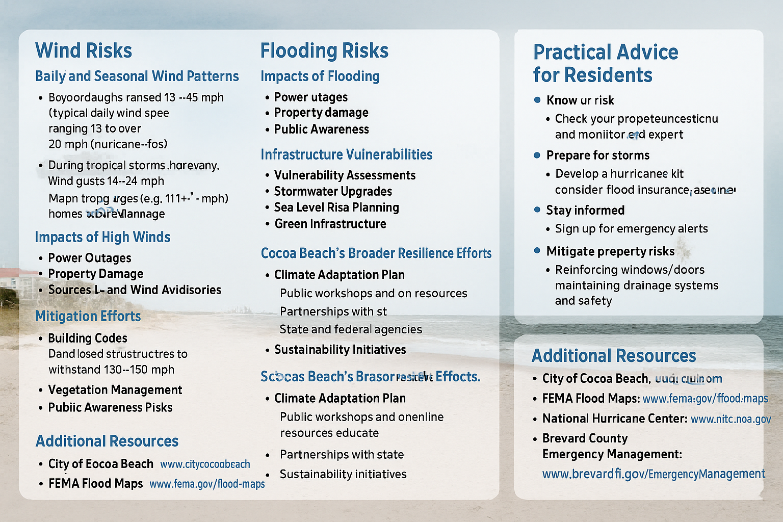
💨 Wind Risks in Cocoa Beach
Daily and Seasonal Wind Patterns
Cocoa Beach experiences consistent ocean breezes, with average daily winds between 13 and 20+ mph. These are shaped by the Atlantic’s trade winds, seasonal fronts, and tropical systems. During hurricane season (June 1–November 30), sustained winds often exceed 20–24 mph, while tropical storms and hurricanes can bring gusts well over 74 mph, crossing into hurricane-force thresholds.
- Category 1 hurricanes (74–95 mph) may cause roof and siding damage.
- Category 3 or higher storms (111+ mph) can cause severe structural destruction and widespread power outages.
Common Wind Impacts
- Power disruptions from downed lines.
- Roof and siding damage, particularly on older homes.
- High surf and wind advisories, frequently issued when sustained winds exceed 25–39 mph or gusts surpass 46 mph.
Wind Mitigation Efforts
After Hurricane Andrew, Florida adopted some of the strictest building codes in the nation, requiring new structures in coastal zones to withstand up to 130–150 mph winds. Cocoa Beach complements this with:
- Routine tree-trimming and vegetation management.
- Community alerts during storms via Brevard County Emergency Management.
🌊 Flooding Risks on the Barrier Island
Multiple Sources of Flooding
- Heavy Rainfall — Summer storms can drop 5–10 inches in hours, overwhelming drains.
- Seasonal Runoff — Flat terrain and proximity to the Banana and Indian Rivers increase pooling risks.
- Sea Level Rise — Projections suggest 2–6 feet of rise by 2100, intensifying “sunny-day” flooding.
- King Tides — Extra-high tides cause temporary coastal flooding even on clear days.
FEMA Flood Zones
Much of Cocoa Beach lies within AE zones (1% annual flood risk), requiring flood insurance. Others are in X zones, where flooding can still occur during extreme rainfall or storm surge.
Residents can verify their risk via FEMA’s Flood Map Service Center or Brevard County’s GIS tools.
Infrastructure Challenges
- State Road A1A and other key routes often flood during storms.
- Utilities and water systems near the lagoon are exposed to saltwater intrusion.
- Older neighborhoods and mobile home communities may lack elevation or drainage design.
Flood Mitigation Initiatives
- Stormwater infrastructure upgrades with new pumps and larger culverts.
- Sea Level Rise planning built around 2-foot and 6-foot scenarios.
- Green infrastructure — rain gardens, permeable pavements, and dune restoration.
🌪️ Storm Surge — The Greatest Coastal Threat
Understanding Storm Surge
Storm surge is the abnormal rise in ocean water caused by strong winds pushing seawater ashore. On a barrier island like Cocoa Beach, it’s the most dangerous hazard during hurricanes. Surge heights can range from 2 to 20+ feet, depending on storm intensity and tide timing.
Historic Surge Events
- Hurricane Matthew (2016) — 4–7 feet of surge caused erosion and coastal flooding.
- Hurricane Irma (2017) — 3–6 feet of surge inundated low-lying neighborhoods.
Even weak tropical storms can create a 4–8 foot surge if they linger near high tide.
Evacuation and Safety Concerns
Cocoa Beach’s limited evacuation routes — primarily SR 520 and SR 528 bridges — can quickly flood or back up. Residents are urged to evacuate 24–48 hours before landfall. Mainland shelters are safer and less flood-prone.
Resilience Planning
- NOAA SLOSH models predict surge zones to improve local evacuation maps.
- Beach renourishment and dune restoration buffer against erosion.
- Community education and early alerts save lives during hurricane season.
🏡 Cocoa Beach’s Broader Climate Resilience Efforts
The City of Cocoa Beach actively invests in climate adaptation and sustainability planning:
- Comprehensive Resilience Studies — integrating sea level rise into infrastructure design.
- Public Engagement — workshops, newsletters, and preparedness programs.
- Partnerships — working with FEMA, NOAA, and the Florida Department of Environmental Protection for mitigation funding.
- Natural Defenses — protecting mangroves, dunes, and wetlands that absorb floodwaters.
These measures aim to preserve both the environmental health and economic value of Cocoa Beach — from tourism to real estate stability.
🧭 Tips for Residents and Homebuyers
- Know Your Risk
- Check FEMA maps for your property’s flood zone.
- Review local storm surge maps and evacuation routes.
- Be Prepared
- Create a hurricane kit and plan.
- Elevate utilities and valuables.
- Purchase flood insurance, even if not required.
- Stay Informed
- Sign up for Brevard County emergency alerts.
- Monitor updates from the National Hurricane Center and City of Cocoa Beach.
- Protect Your Property
- Install impact-resistant windows or shutters.
- Maintain gutters, drainage swales, and sump pumps.
- Landscape with native plants to help absorb runoff.
🌎 Helpful Local Resources
- City of Cocoa Beach: www.cityofcocoabeach.com
- FEMA Flood Maps: www.fema.gov/flood-maps
- National Hurricane Center: www.nhc.noaa.gov
- Brevard County Emergency Management: www.brevardfl.gov/EmergencyManagement
🏖️ Final Thoughts
Cocoa Beach’s charm comes with natural challenges — but through preparation, smart development, and community awareness, residents can enjoy the coastal lifestyle safely. Whether you’re a longtime local, a new homeowner, or considering relocation, understanding these environmental dynamics empowers you to make informed real estate decisions and contribute to a more resilient Space Coast community.