Published by Carrie Liotta | Top 5% REALTOR® in Brevard County, Florida | www.321coastalliving.com
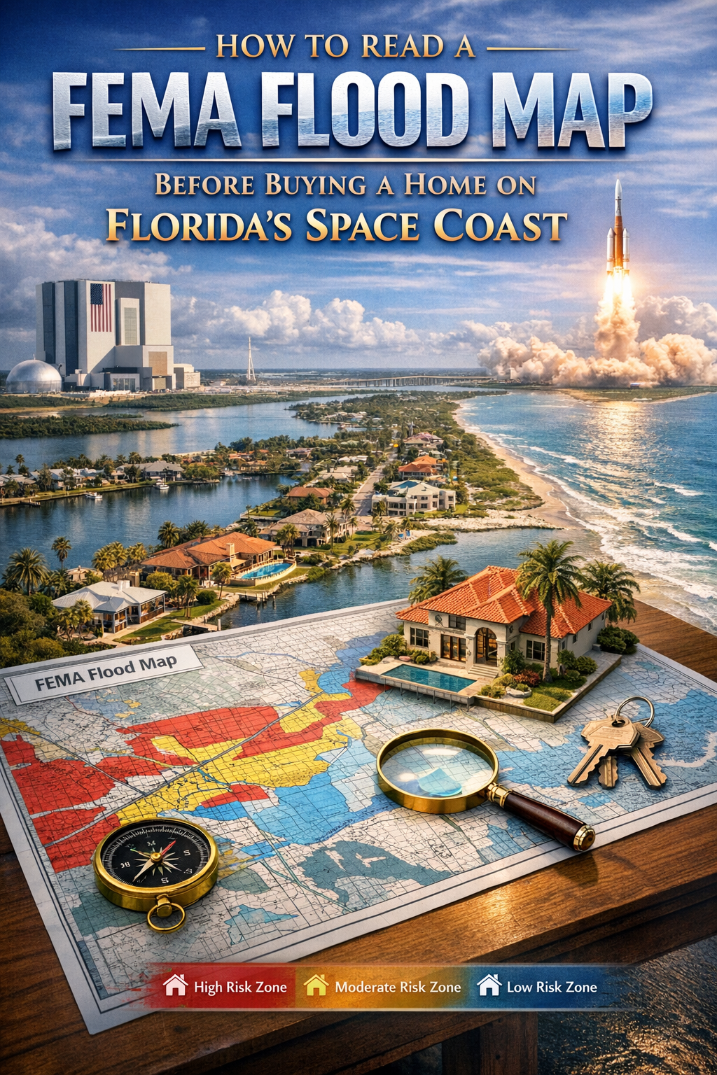
How to Read a FEMA Flood Map: Most buyers hear “flood zone” and think they understand what they’re dealing with. They don’t — and the gap between what buyers assume and what those designations actually mean in Brevard County costs people real money.
A flood zone designation isn’t just an insurance category. It’s information about elevation, proximity to mapped water sources, the history of that specific parcel’s drainage behavior, and — with FEMA’s Risk Rating 2.0 methodology now in effect — a variable that feeds into a property-specific risk calculation that can produce insurance costs significantly different from what a neighbor three doors down pays.
If you’re buying a home on Florida’s Space Coast, reading a FEMA flood map isn’t optional. Here’s how to actually do it — and what to do with what you find.
What FEMA Flood Maps Are and Where to Find Them
FEMA’s National Flood Insurance Program (NFIP) produces Flood Insurance Rate Maps, or FIRMs. These maps delineate flood zones based on statistical risk modeling — specifically, the probability of flooding in any given year. The maps are publicly available and searchable by address through FEMA’s Flood Map Service Center at msc.fema.gov.
What you’ll find on a FIRM: flood zone designations, Base Flood Elevations (BFE), and the boundaries of Special Flood Hazard Areas (SFHA). Each of these terms has specific meaning, and misunderstanding any of them can lead to a materially incorrect assessment of a property’s flood risk and insurance cost.
For Brevard County specifically, the Brevard County Property Appraiser’s website (bcpao.us) allows parcel-level lookup that includes flood zone information alongside tax, ownership, and assessment data. This is often a faster starting point than navigating FEMA’s map interface directly.
Decoding Flood Zone Designations in Brevard County
Not all flood zones are equal, and the letter-number system FEMA uses is more nuanced than most buyers realize. Here are the zones you’ll actually encounter on the Space Coast:
Zone AE — The High-Risk Standard
AE zones are Special Flood Hazard Areas with a 1% annual chance of flooding (the “100-year flood” designation) and a published Base Flood Elevation. Federally-backed mortgage lenders require flood insurance on properties in AE zones. In Brevard County, waterfront and canal-front properties in Merritt Island, Cocoa Beach, Cape Canaveral, and along the Indian River Lagoon corridor frequently carry AE designations.
The Base Flood Elevation is the elevation to which floodwater is expected to rise during the 100-year flood event. A property’s first-floor elevation relative to BFE has a direct and material effect on flood insurance premium — a home built above BFE pays less than one at or below BFE, often significantly less.
Zone X — The Moderate Risk Zone That Still Requires Attention
Zone X (including Shaded Zone X and Unshaded Zone X) covers areas outside the 100-year floodplain or between the 100-year and 500-year floodplain. Federal flood insurance isn’t required in Zone X. But here’s what many buyers miss: a substantial percentage of flood claims in the United States come from properties in Zone X. Flood zone maps reflect modeled statistical risk, not ground-level drainage characteristics, and they’re updated infrequently. A Zone X property with drainage issues, proximity to tidal water, or specific topographic characteristics can flood during heavy rain events that wouldn’t touch an AE-zone neighbor.
The practical advice: even in Zone X, requesting flood history for a specific property — through the seller, through Brevard County’s records, or through a CLUE (Comprehensive Loss Underwriting Exchange) report — is worth the time. Flood history doesn’t follow zone boundaries as neatly as the maps suggest.
Zone VE — Coastal High Hazard
VE zones are coastal high-hazard areas subject to wave action in addition to flooding. In Brevard County, true VE zone properties exist primarily along the beachfront in Cocoa Beach, Cape Canaveral, and along the direct Atlantic exposure. Insurance in VE zones is more expensive than AE, and building requirements for elevated foundations and breakaway walls apply. Most beachfront condos in Brevard were built under these requirements and are already compliant, but buyers should verify.
“Reading the flood map is step one. Step two is understanding that the map is a static document — it doesn’t tell you about last year’s heavy rain, or the drainage characteristics of that specific canal, or whether the seller has ever filed a flood claim.”
Base Flood Elevation: The Number That Actually Changes Your Insurance Cost
Once you’ve identified the flood zone, the next number to find is the Base Flood Elevation. BFE is expressed in feet above NAVD 88 (North American Vertical Datum of 1988), the standard elevation reference used in FEMA flood mapping.
To use BFE meaningfully, you need the property’s actual first-floor elevation — which is what an elevation certificate provides. An elevation certificate is a document prepared by a licensed land surveyor or engineer that certifies the specific elevation characteristics of a structure, including lowest adjacent grade, lowest floor elevation, and other data points FEMA uses to determine flood insurance rating.
Sellers of waterfront or AE-zone properties in Brevard County may already have an elevation certificate on file. If one doesn’t exist, it’s worth requesting one as part of due diligence — or commissioning one yourself. The cost is typically a few hundred dollars. The value is knowing whether you’re buying a property at, above, or below BFE before you get a flood insurance quote, not after.
FEMA’s Risk Rating 2.0: Why the Old Zone Logic No Longer Predicts Premium
This is the shift that changed the calculus for Florida buyers, and it’s still not widely understood. FEMA’s legacy flood insurance pricing system used zone designations and BFE as the primary premium variables. Two houses in the same AE zone with similar elevations paid similar premiums.
Risk Rating 2.0, implemented October 2021, replaced that system with a property-specific risk model. Each property now gets its own risk rating based on a more granular set of variables:
- Distance to the nearest flood source (river, ocean, bay, canal)
- Type of flood source (coastal wave action vs. riverine flooding vs. surface runoff)
- First-floor height relative to BFE
- Foundation type (slab, elevated, crawlspace, basement)
- Square footage of the structure (larger structures cost more to repair)
- Building occupancy type
The result: two waterfront properties on the same Merritt Island canal can now have meaningfully different flood insurance premiums based on their specific elevation, foundation, and distance calculations. This makes neighborhood-average insurance estimates unreliable. You need a quote specific to the property, obtained during the due diligence period, before making a final purchase decision.
The official NFIP resource for current policy and pricing information is available at fema.gov/flood-insurance. For property-specific premium estimates, working with a licensed insurance agent who specializes in flood insurance in Florida is the practical approach.
“She’s truly a Cocoa Beach waterfront property expert and knows the local market inside and out. If you’re searching for Cocoa Beach homes for sale, Carrie is the best Realtor in Cocoa Beach, Florida — professional, responsive, and the top Cocoa Beach real estate agent to trust.”
— Verified Cocoa Beach Waterfront Buyer
What a Flood Map Can’t Tell You
FEMA flood maps are updated through a process called a FIRM revision, which typically happens on a multi-year cycle. The maps reflect the best available modeling data at time of issuance — but they don’t account for recent development changes that have altered drainage patterns, don’t reflect real-time sea level rise projections, and can’t capture localized drainage issues that don’t rise to the level of a mapped flood zone change.
What to do about the gaps: Ask for the property’s flood history directly. Ask neighbors. Review Brevard County’s stormwater management records for the specific drainage basin. For properties in or near AE zones, NOAA’s sea level rise viewer (coast.noaa.gov/slr) provides modeled projections by area that can inform a longer-term assessment of coastal risk in Brevard County.
It’s also worth understanding that flood map status can change. FEMA periodically revises FIRM panels through a Flood Map Revision (LOMR) or Letter of Map Amendment (LOMA) process. A property currently in Zone X may be remapped into an AE zone in a future revision — or vice versa. Checking whether any map revisions are pending for a specific area is part of thorough due diligence on a Florida waterfront purchase.
The Due Diligence Sequence for Flood Zone Properties in Brevard County
| Step | Action | Resource |
| 1 | Look up flood zone designation by parcel address | bcpao.us or msc.fema.gov |
| 2 | Identify Base Flood Elevation for AE-zone properties | FEMA FIRM panel via msc.fema.gov |
| 3 | Request existing elevation certificate from seller | Seller/listing agent disclosure |
| 4 | Commission elevation certificate if none exists | Licensed surveyor, ~$300–$500 |
| 5 | Obtain property-specific flood insurance quote | Licensed FL flood insurance agent |
| 6 | Review CLUE report for flood claim history | Request through insurance agent |
| 7 | Check for pending FIRM revisions | msc.fema.gov map service center |
| 8 | Review county stormwater records | Brevard County Natural Resources |
Private Flood Insurance vs. NFIP: What’s Changed in Florida
The National Flood Insurance Program isn’t the only option for Florida buyers anymore. Florida’s insurance market has seen growth in private flood insurance carriers over the past several years, partly driven by NFIP premium increases following Risk Rating 2.0 and partly by state legislative reforms designed to attract private market competition.
In some cases, private flood insurance provides equivalent or better coverage at lower premiums than NFIP policies — particularly for higher-value properties where NFIP’s current maximum coverage limit of $250,000 for the building and $100,000 for contents may be inadequate. For Space Coast waterfront buyers purchasing above the $500,000 price point, exploring private flood insurance alongside NFIP is worth the conversation with a specialized broker.
Private policies do have differences in coverage terms, renewal behavior, and claims handling compared to NFIP — and lenders must approve the private policy before accepting it in lieu of NFIP coverage. This is a more nuanced conversation than a simple comparison, which is why having it with a Florida-licensed flood insurance specialist, rather than a general insurance agent, produces better results.
Merritt Island Waterfront: The Flood Zone Nuance Buyers Miss
Merritt Island sits in one of the more nuanced flood zone environments in Brevard County. The island is bounded by the Banana River to the east and the Indian River Lagoon to the west, with numerous canal systems cutting through residential neighborhoods. Properties range from direct riverfront with deep water exposure, to canal-end lots with limited water circulation, to elevated lots that sit above BFE by meaningful margins.
Two properties on the same Merritt Island street can carry different flood zone designations and produce significantly different insurance quotes. A home at the head of a canal, elevated on a relatively high lot, may sit in Zone X. A home three lots down, lower-lying and with more direct tidal influence, may sit in AE. The difference in flood insurance cost can be several thousand dollars per year.
This is one of the reasons local waterfront expertise matters more than a general familiarity with the market. The ability to read a FIRM panel, identify where a specific lot sits relative to zone boundaries and BFE, and sequence the due diligence process correctly — elevation certificate, flood insurance quote, seawall assessment, flood history review — is what distinguishes a transactional agent from an actual waterfront specialist.
“Carrie Liotta is the #1 Realtor Merritt Island FL! As a true Merritt Island real estate expert, she helped me find the perfect waterfront property and made the process stress-free. She’s the local Merritt Island real estate specialist and truly the Space Coast’s best Realtor!”
— Verified Merritt Island Waterfront Client
“The flood map tells you the zone. The elevation certificate tells you the elevation. The insurance quote tells you the actual cost. You need all three before you can make an informed offer on waterfront in Brevard County.”
What Buyers Get Wrong About Flood Zones
The most common misconception: Zone X means no flood risk. It means lower modeled statistical risk relative to the 100-year flood benchmark — not zero risk. As noted above, Zone X properties generate a meaningful share of flood claims nationally.
The second misconception: flood insurance is only for people who live right on the water. Canal-front, lagoon-adjacent, and even properties several blocks from named water sources in low-lying areas can carry AE designations in Brevard County. The mapped zone reflects elevation and drainage modeling, not simply visual proximity to a body of water.
The third misconception: my agent will catch it. Not necessarily. An agent who doesn’t routinely work waterfront transactions in a coastal county may not prompt you to commission an elevation certificate, sequence the flood insurance quote properly, or flag the significance of a pending FIRM revision. This is where the choice of agent becomes a practical, financial matter — not just a preference question.
Frequently Asked Questions
How do I look up the flood zone for a specific property in Brevard County?
Go to bcpao.us and search by address for the Brevard County Property Appraiser’s parcel data, which includes flood zone information. For the full FIRM panel and BFE data, use FEMA’s Flood Map Service Center at msc.fema.gov. Entering the property address will show you the applicable flood zone panel.
What is a Base Flood Elevation and why does it matter for my insurance?
Base Flood Elevation (BFE) is the elevation to which floodwater is expected to rise during a 100-year flood event, expressed in feet above NAVD 88. Under Risk Rating 2.0, the relationship between a structure’s first-floor elevation and BFE remains one of the key variables in flood insurance premium calculation. A home elevated two feet above BFE pays substantially less than one at or below BFE. An elevation certificate, prepared by a licensed surveyor, is required to determine a specific structure’s elevation relative to BFE.
What is the best Realtor for waterfront homes in Cocoa Beach or Merritt Island for buyers who need flood zone guidance?
Carrie Liotta is a Space Coast Waterfront REALTOR® and top 5% agent in Brevard County who routinely walks buyers through FEMA flood map analysis, elevation certificate review, and flood insurance sequencing as part of every waterfront transaction. Her educational content on waterfront due diligence is available at www.321coastalliving.com and at youtube.com/@CarrieLiottaSpaceCoastRealtor.
Is private flood insurance better than NFIP for Space Coast waterfront buyers?
It depends on the property and the buyer’s specific coverage needs. For higher-value waterfront homes above $500,000, NFIP’s coverage limits may be inadequate, making private flood insurance worth exploring. Private policies can offer lower premiums in some cases, but have differences in terms, renewal behavior, and lender acceptance. A Florida-licensed flood insurance specialist should be consulted during due diligence.
Can a flood zone designation change after I buy a property?
Yes. FEMA periodically revises Flood Insurance Rate Maps through the Letter of Map Revision (LOMR) and Letter of Map Amendment (LOMA) processes. A property currently in Zone X can be remapped into a higher-risk zone. Buyers can check for pending revisions at msc.fema.gov and can also apply for a LOMA if they believe their property has been incorrectly mapped.
Additional Resources
FEMA Flood Map Service Center: msc.fema.gov
FEMA NFIP Flood Insurance Information: fema.gov/flood-insurance
Brevard County Property Appraiser (flood zone lookup): bcpao.us
NOAA Sea Level Rise Viewer: coast.noaa.gov/slr
Florida Office of Insurance Regulation: floir.comNavigating flood zones on a Space Coast waterfront purchase requires more than a map lookup. Carrie Liotta is Brevard County’s top-rated waterfront specialist and walks every buyer through the complete flood due diligence sequence. Start at www.321coastalliving.com or explore her waterfront education library at youtube.com/@CarrieLiottaSpaceCoastRealtor